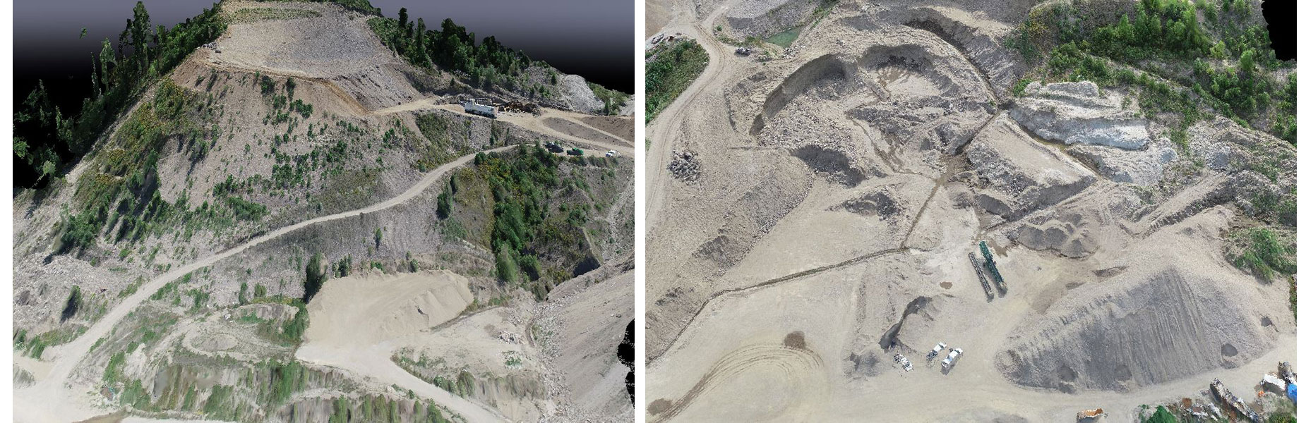
Using photogrammetry by means of Unmanned Aerial Vehicle, Blackburn Surveying is able to recreate site topography to create maps and analyze ground data.
Drone surveying is the most efficient way to have your gravel pit mapped for annual mine plans and Notice of Work Applications. Blackburn Surveying's team of professionals is sure to provide you with a complete set of PDFs that are acceptable for any application.